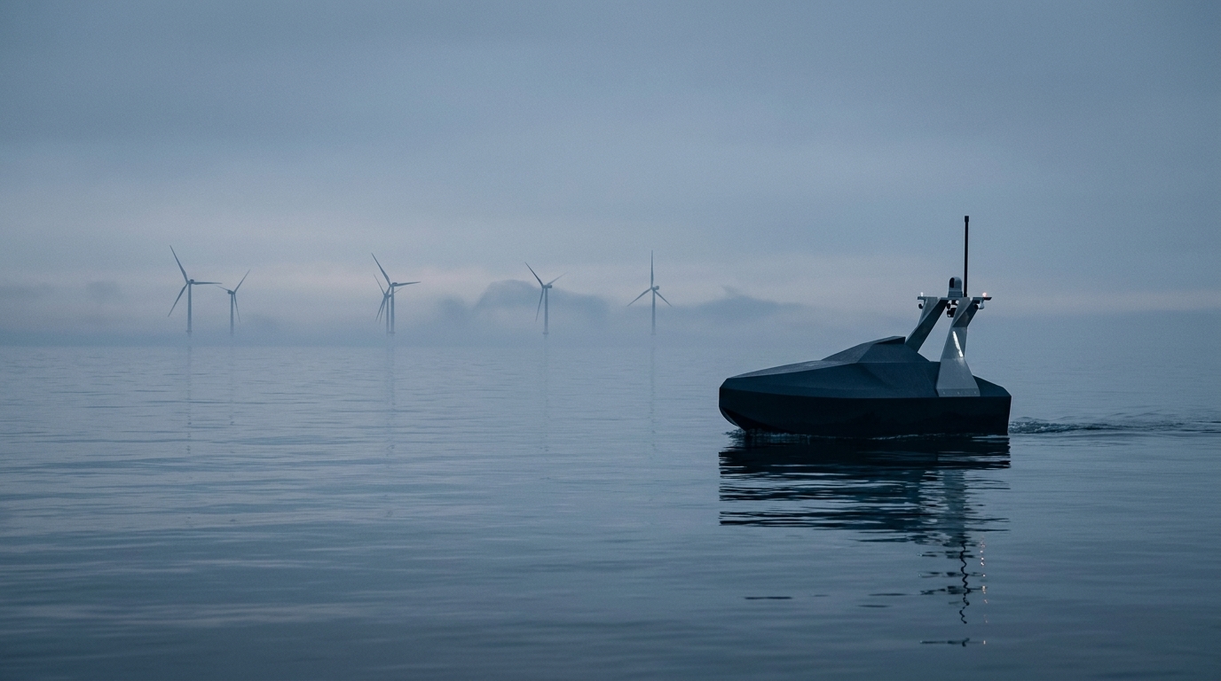
A 60 kW harbor-patrol USV with AI multi-sensor detection, a self-righting hull and clean electric propulsion (RIM Drive).
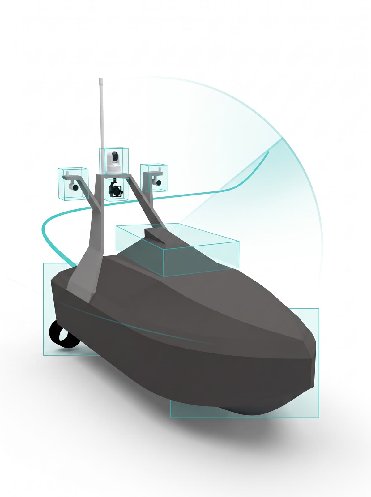
AI analyzes multi-sensor data in real time to automatically detect and classify surrounding objects - ships, people, buoys, marine debris, floating objects and port facilities - tracking their position and movement to predict collision risk.
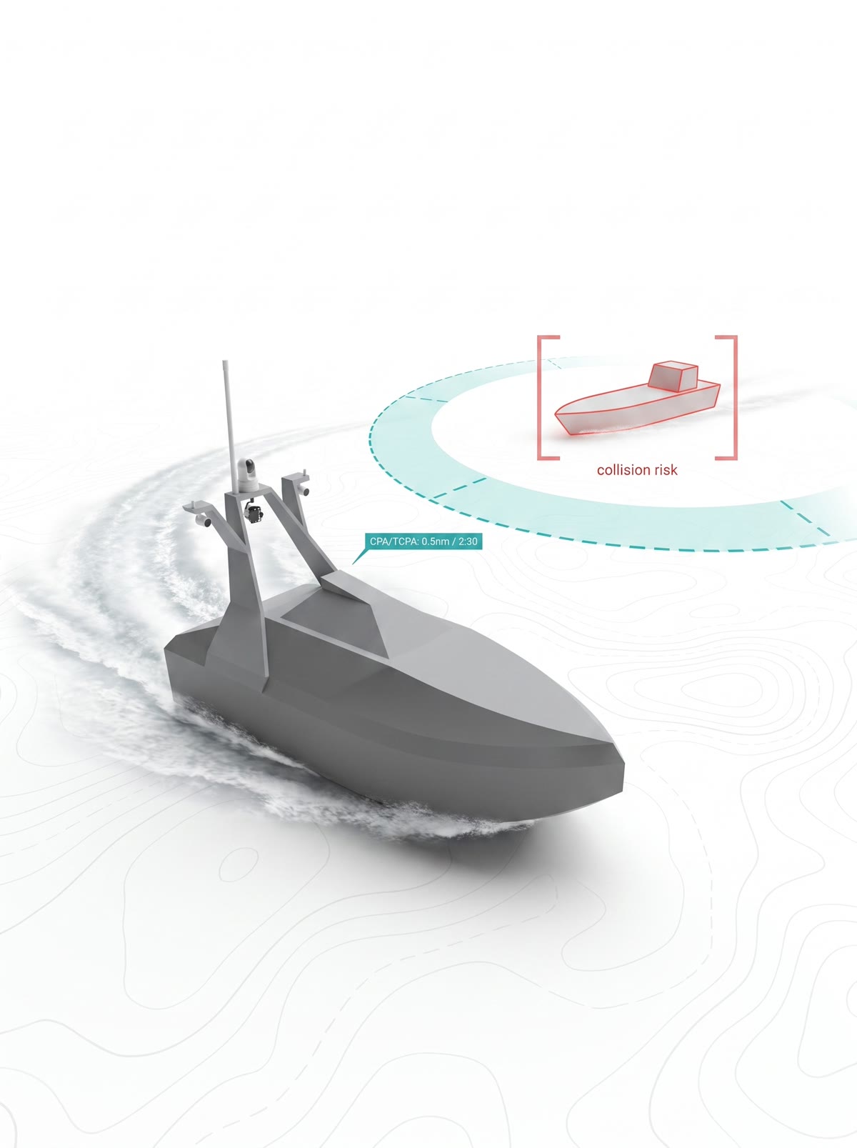
Analyzes nearby vessels and obstacles in real time and plans the optimal avoidance route per COLREGs. On any collision risk the AI automatically slows, evades and reroutes to keep operations safe.
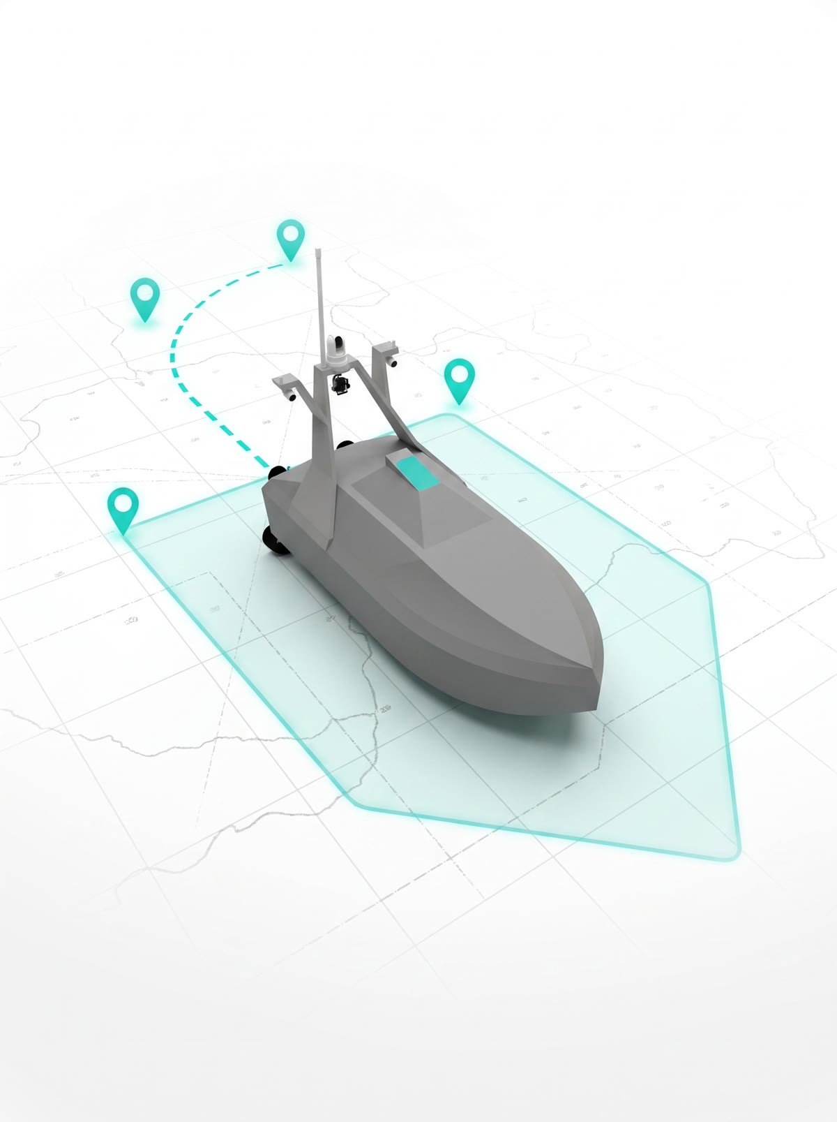
Before departure the operator sets the destination, waypoints, patrol zone, speed and mission rules at the GCS; the AI then plans the optimal route and sails autonomously. If obstacles appear it generates a safe detour and carries on, while the operator can add waypoints or reroute in real time.
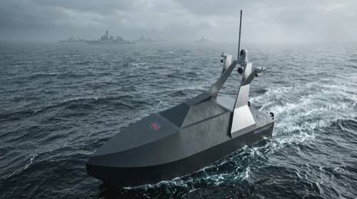
Even after capsizing in heavy seas, the ballast system rolls the hull back upright - and the mission carries on without interruption.
In recent years, global demand for ASVs has increased sharply, driven by crew shortages, safety concerns, shifting defense paradigms, and port surveillance and environmental monitoring needs.
We have been developing various types of USVs since 2023 and successfully completed sea trials of the battery-based 4.0 m multi-purpose port-cleaning drone in 2025. We are now fully committed to the engineering, integrated-control development and manufacturing of the 5.5 m multi-sensor self-righting harbor surveillance ASV and the 7.2 m high-speed electric hybrid ASV.
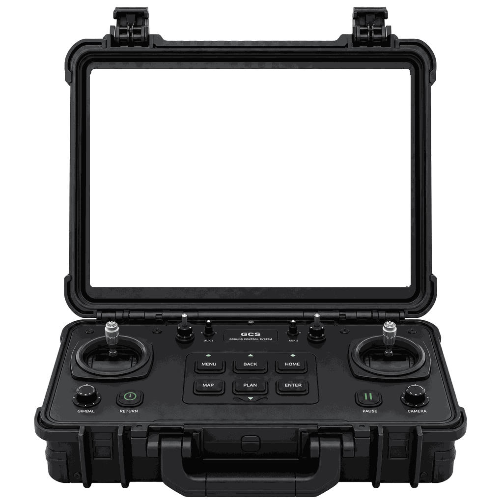
The ground control station (GCS) is the eyes and hands of the USV. Monitor the camera, radar, chart and vessel status on a single screen in real time - and in the event of a collision risk or emergency, switch instantly from autonomy to remote control for direct operation.
A gimbal-stabilized EO/IR camera streams a crisp forward view day, night and through bad weather. From the GCS the operator can pan, tilt and zoom onto any target and take direct remote control the moment it's needed.
Switch between daytime EO and night thermal (IR) in one touch; recorded footage can be reviewed after the mission.
A radar PPI scope plots the range and bearing of nearby vessels, buoys and obstacles in real time. It picks up contacts the camera can't see - at night, in fog or in blind spots - for wide-area awareness at a glance.
Tune the detection range (RNG), gain and sea-clutter suppression (SEA) to match the sea state.
Own-ship position, heading and speed are overlaid live on an electronic chart (ECDIS), together with the planned route and surrounding traffic. Operators pan and zoom the chart to grasp the whole track at a glance.
Warnings appear on-screen if the vessel drifts off route or nears a restricted zone, supporting safe navigation.
Battery level, propulsion output, comms link and GPS fix - every key subsystem is monitored on one screen in real time. Each item is graded normal, caution or alert so issues are caught early and handled proactively.
If a threshold is exceeded or the link degrades, an automatic alert prompts the operator to respond remotely.
Pre-set waypoints and patrol zones are drawn on the chart, with current position, remaining distance and ETA updated live. Waypoints can be added or edited mid-mission to reshape the task on the fly.
When an obstacle forces a detour, the auto-generated avoidance path is shown and the vessel rejoins the original route afterward.
AI fuses camera and radar data to automatically detect and classify surrounding objects - vessels, people, buoys, marine debris - and tracks their position and movement. When a collision risk arises, warnings and proximity data are shown live.
Detected objects are logged with a confidence score so the situation can be reviewed after the fact.